
Devoke Water - Lake District Walk
Monday 8th July 2013
No trip to Eskdale is complete for us without a walk around Devoke Water. As it was such a hot day we had a lazy day in the campsite and then an early evening and leisurely walk around Devoke Water.
Start: Birker Fell Road (SD 1709 9771)
Route: Birker Fell Road - Rough Crag - Water Crag - Devoke Water - Birker Fell Road
Distance: 3 miles Ascent: 150 metres Time Taken: 2 hours 50 mins
Terrain: Clear paths
Weather: Hot.
Pub Visited: Brook House Inn Ale Drunk: Barnsgate Brewery, Tenacious Ted
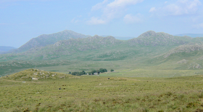
Harter Fell and Green Crag from the climb to Rough Crag.
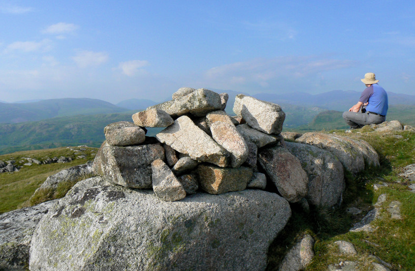
As ever we spent a long time on each summit.
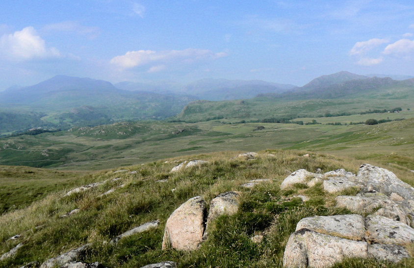
Maybe we spent longer than normal as I tried out a variety of settings on my camera.
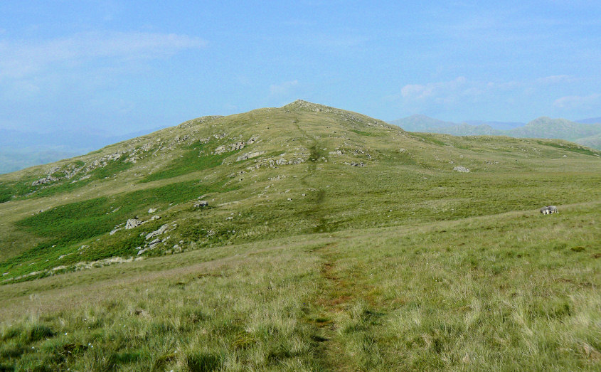
The descent from Rough Crag never feels as big as it looks.
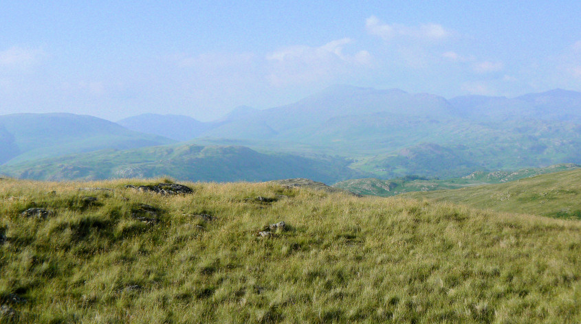
A long debate was held on Water Crag as to whether or not that was Kirk Fell we could see. It was eventually settled by dragging the map out of the rucksack.
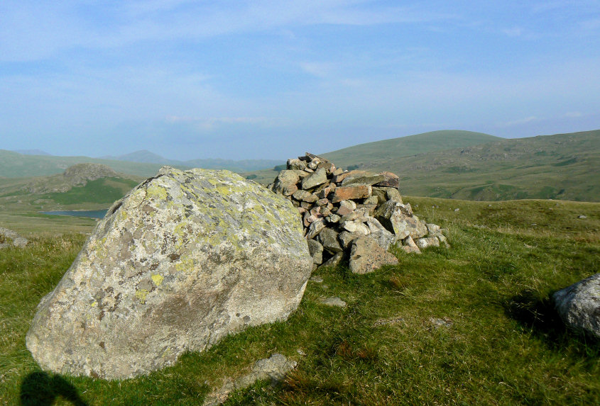
I'm sure the cairn on Water Crag has either grown or moved as I don't recall it being next to this rock a few years ago, mainly because I remember leaning against the rock for rather a long time on a previous visit.
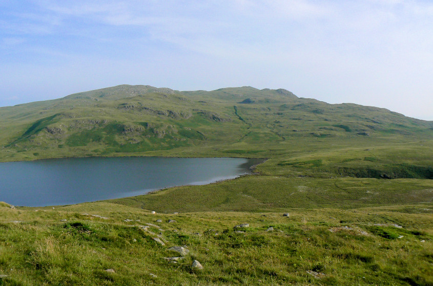
Our original plan for today had been to go out to White Pike and then up to Yoadcastle but as we knew how little shade there would be we went for the more sensible option of an evening walk.

The last time we were here we couldn't cross this stream as the rocks were under a foot of water.
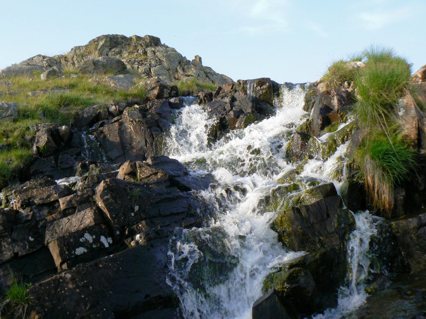
Plenty of time was spent here as we took it in turns to try out our different camera settings on shots of the falls.
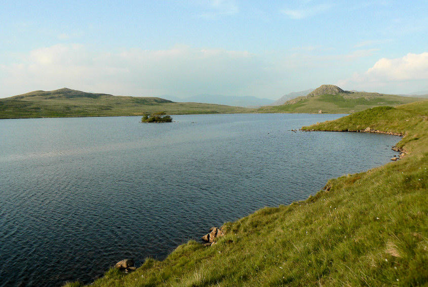
Rough Crag across Devoke Water.
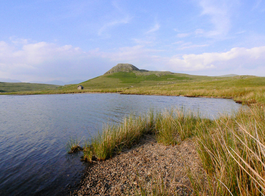
Boat How.
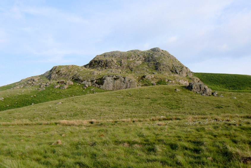
Boat How, another summit around Devoke Water that we rarely visit.

We had spent so long on the tops and by the falls that it was approaching eight o'clock as we took a last look at Devoke Water before heading back to the car.
All pictures copyright © Peak Walker 2006-2023